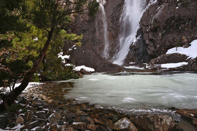
Meander Falls, July 2015
 There are some things that every genuine Taswegian has done – like seeing Cradle Mountain or going to the top of Mt Wellington, and I have always thought that seeing the Meander Falls was one of those things. It is thus with a very shamed face that I admit that I went to Meander Falls for the very first time today. I guess part of the trouble in recent years has been that the bridges normally crossed to get there came down in a flood several years ago and have not been replaced, making getting to the start much harder than doing the walk. Certainly, today, that was the only navigational challenge. Once you’ve reached the start box, it’s all easy. You just have to walk on a track for a bit and then you’re there.
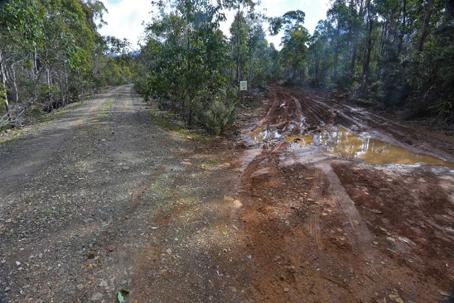
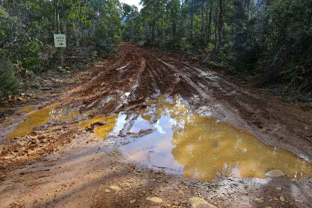
Both my friend, Angela, and I had certainly been put off for a while by the absence of bridges, and by the fact that the map shows no connecting roads to the start any more. (She is a genuine Tassie girl, however, having been there as a teenager). Our interest in reaching the falls was rekindled recently when friends indicated there was now a way to drive there, so we decided today to give it a try. We made an error or two; I used the 4WD function on my car for the very first time; we skated through some mud when I would have liked a little traction, but we got there to the old carpark with great big signs welcoming us, and we were away.
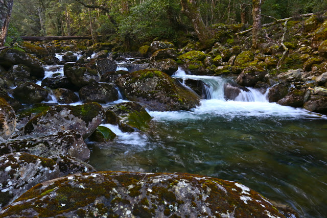
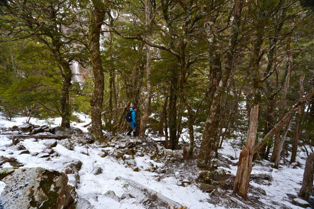
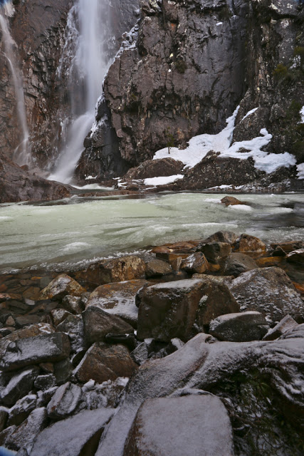
Rain was forecast for the afternoon, so we didn’t waste much time climbing to the falls on the way out – along through pleasant rainforest with the gurgling Meander River beside us. I wanted to photograph it, but even more than that, I wanted to get to see the falls and get out again before the rains came – not only to beat getting cold and wet, but also because I was worried about the huge amount of mud we’d encountered on the way in. I didn’t want to be driving out with any more mud than I’d negotiated on the approach! The sign said it was a six hour return trip, and that sounded rather long with the weather changing. We were very happy to arrive at the falls after 1 hr 40. We were also excited, as the higher we climbed, the more snow we encountered. It was beautiful. And just as we arrived at the falls, large, slow flakes began descending upon us.
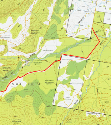
We photographed and ate a snack and then returned to the car with no other detours, anxious about what was happening to the mud. We didn’t eat the second half of our lunch until we were out the other side of it. The muddy bit is a new section of “road” which is not on the map, but which has been made, we suppose, to connect to bits of road that are on the map and that can then be used to reach the falls. This walk is on the list of Tasmania, Parks and Wildlife Service’s 60 Great Walks, suitable for families, so we both found it sad that the walk is there and not even overgrown despite its lack of use, but that access is so difficult. There are no signposts to tell you where you’re going. For instructions to the start, please see below.
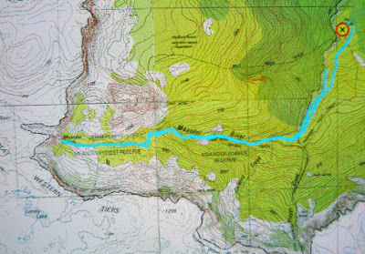
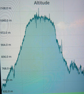
10 kms. We took a total of 3 hrs 14 return (plus photos). Just short of 500 ms climb.
To get there:
First head for Meander. There, you will find a sign to the falls (and to the dam. Both use the same road for a while). It’s the only sign to the falls you’ll find. Keep heading for the dam, which is signed.
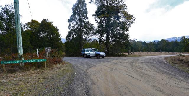
When you reach the intersection above, turn left. The old road curves right (but you’ll end up in the river if you use it). We had been told to turn left at a cardboard sign, so sailed right at this point, not knowing the sign was deceased, so had to return to this point. After that, take the next two turns to the right. Both are signposted to an Apex Hut.

