Mt Scott, May 2014
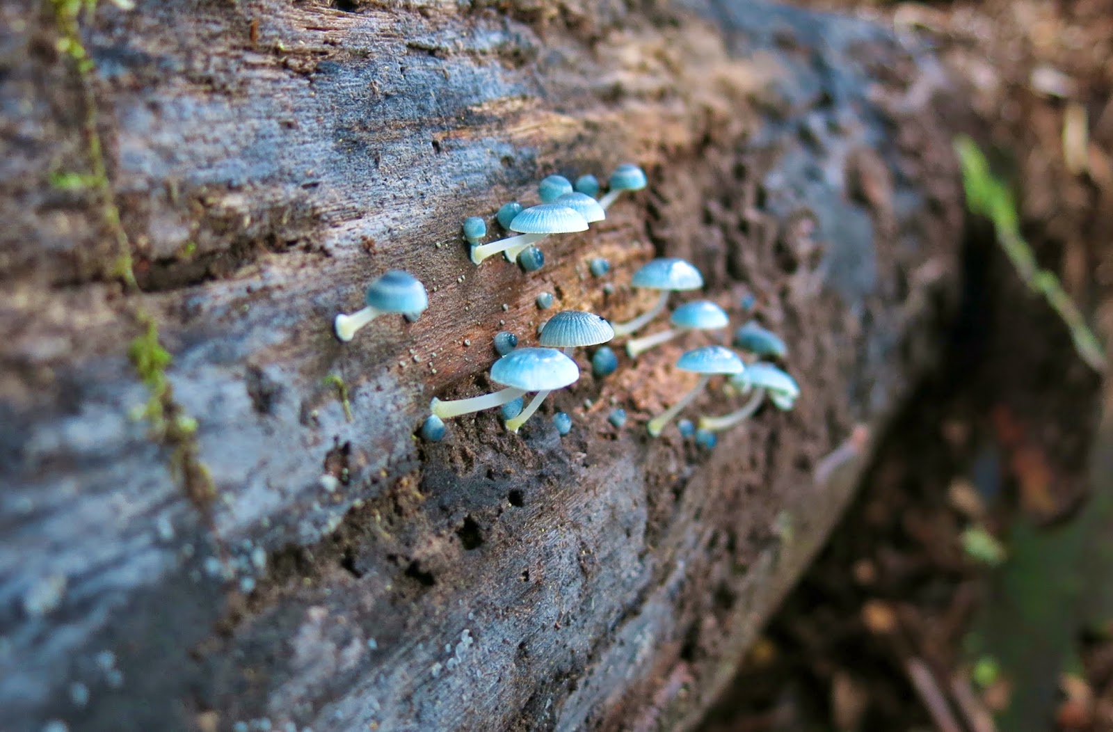
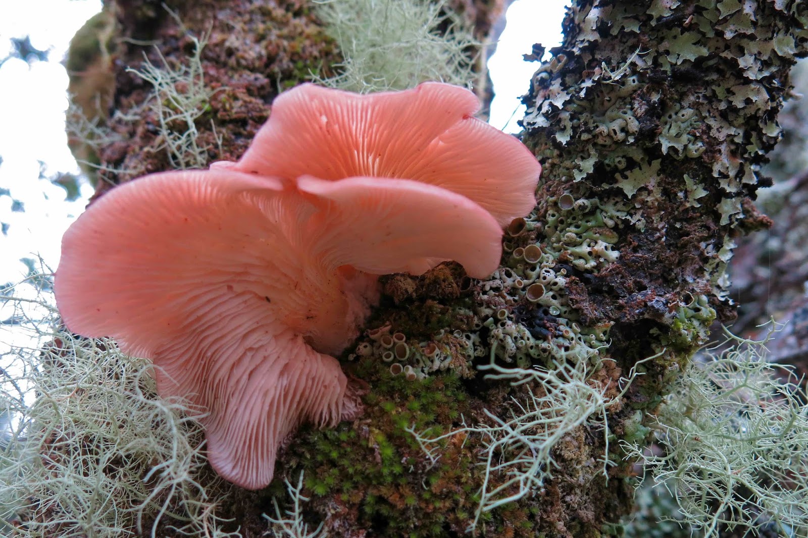
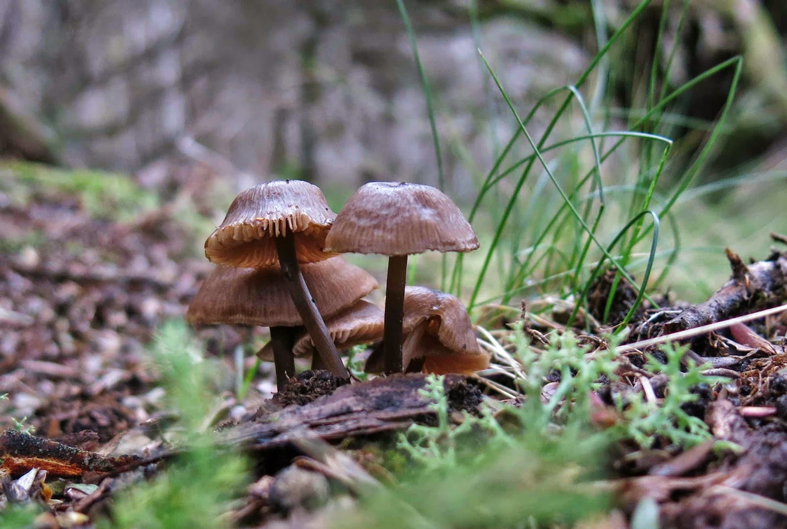
Darling mycena interrupta were in abundance here.
I continue to marvel at the number of times I can be introduced to a mountain whose name I have never heard of, just because it’s on the peak baggers’ list. So it was this week, when I received an invitation from friends who wanted to climb Mt Scott. I had to search to find it on the map, but yes, of course I wanted to come to add to my peak collection and to experience a new mountain; my friends had all gained the point for this mountain long ago, so were more interested in picking wild berries than in summitting, but that suited me fine. It gave me the opportunity to summit using my own devices while they picked berries, and I very much like to do my own navigating. My work obligations could be accommodated into the expected timetable for the venture. We were off.
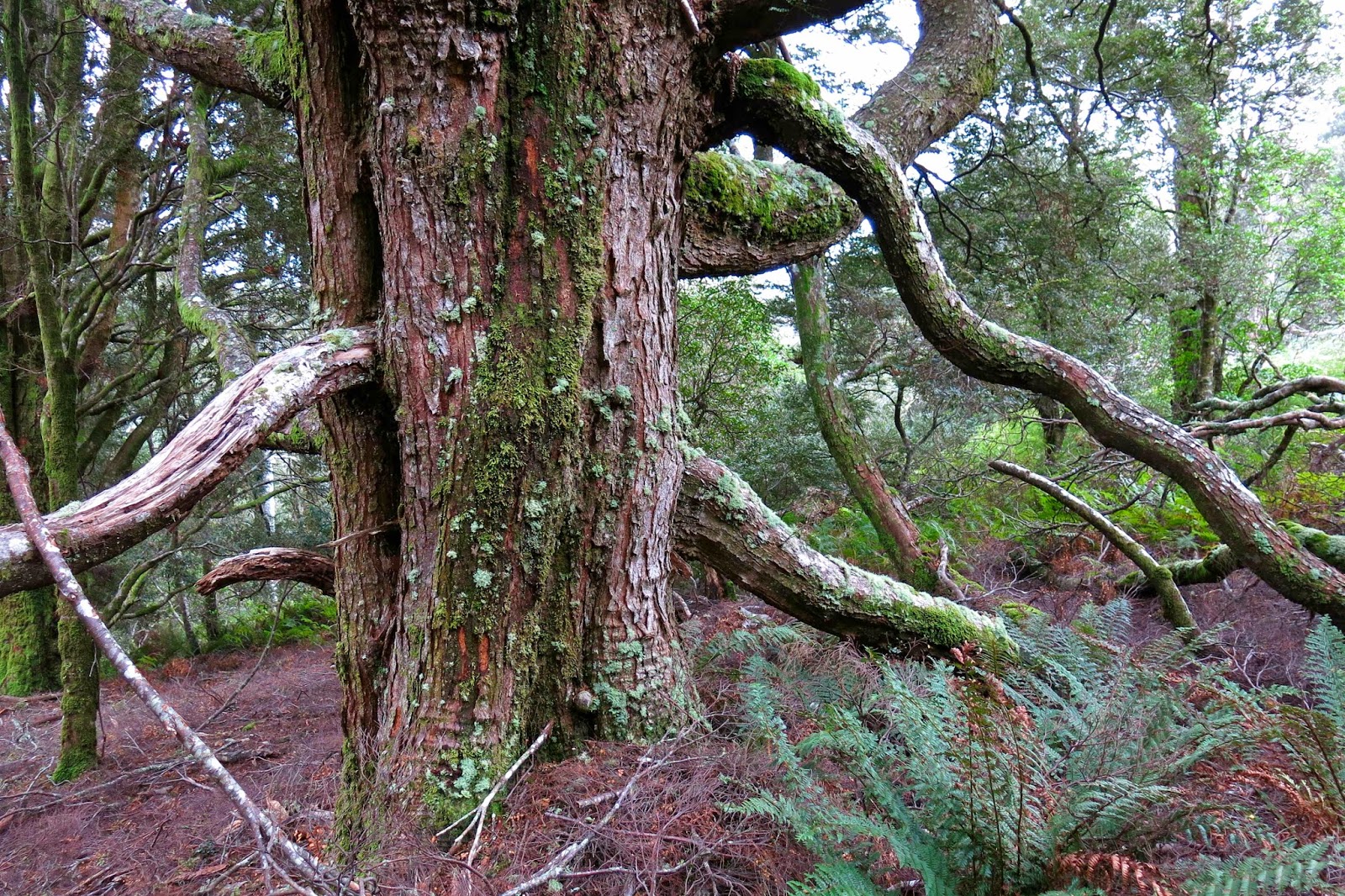
A huge old myrtle (nothofagus cunninghamii)
We drove along roads that (at the end stage) are on none of my maps, and parked the car in what appears to be (map-wise) in the middle of nowhere. Because of this, I’ve given very thorough instructions on how to drive there at the end.
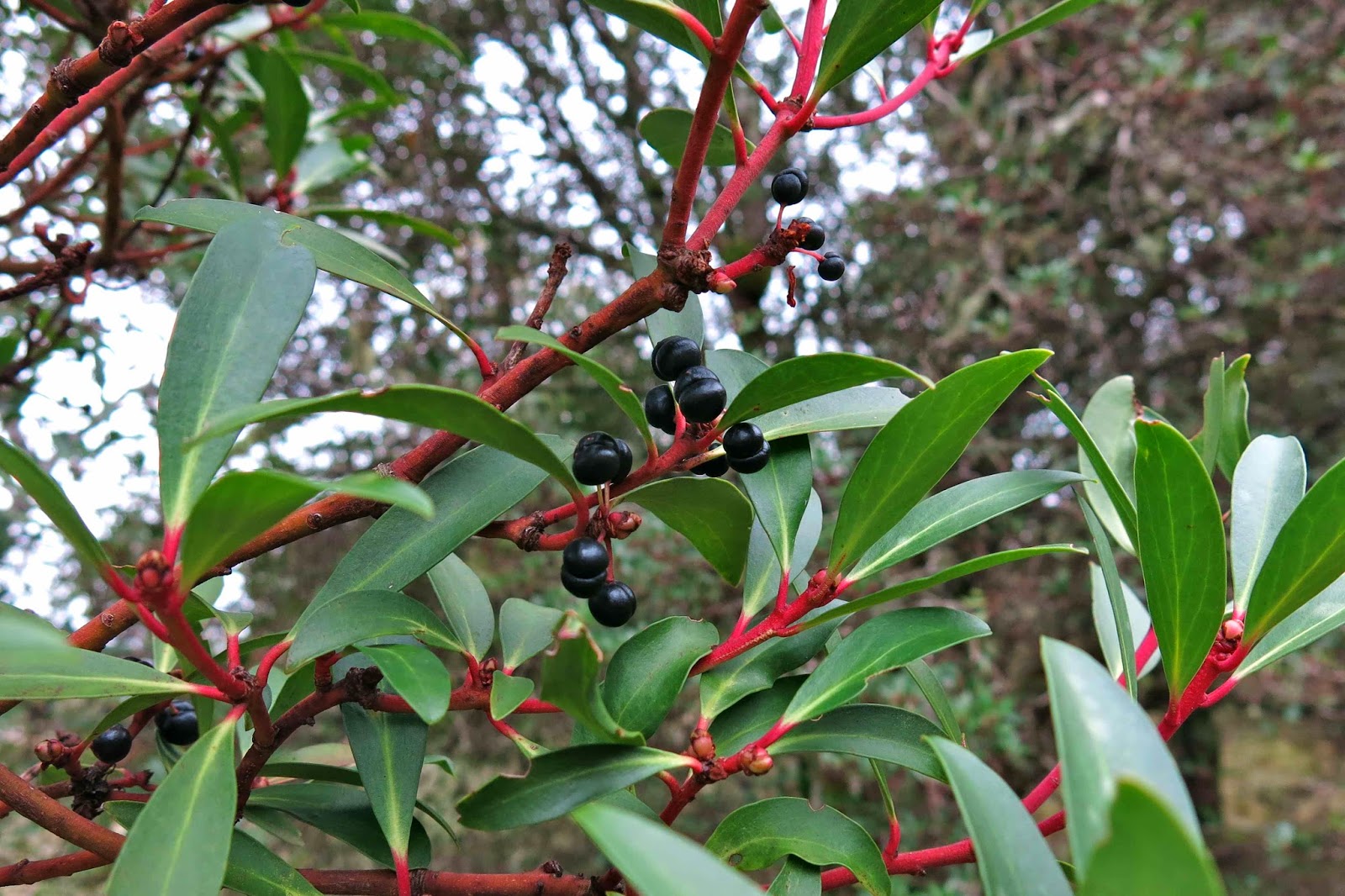
Native pepperberry bush, Tasmannia lanceolata
At the start of the walk, there is actually a little wooden sign with pink ribbon. From the sign, you head off into wet forest thick with lush ferns of many varieties, but there is a taped pad the whole way – albeit one that is sometimes hard to find. We lost it on a few occasions, but it is there. You just need to be vigilant, and to backtrack to the last tape if they run out in some direction.
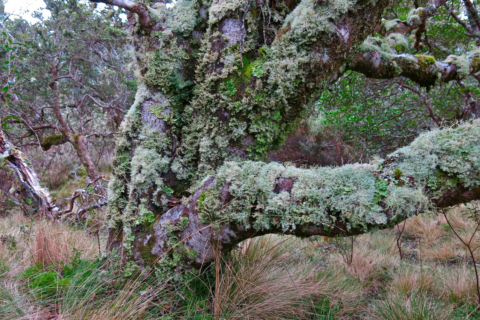
Tasmannia lanceolata covered in moss and lichen
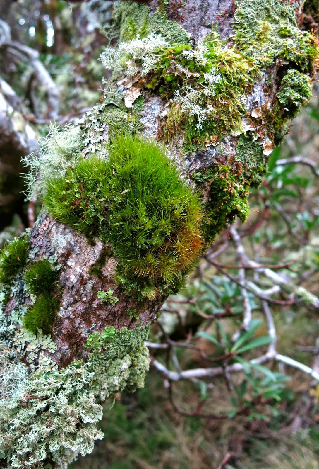
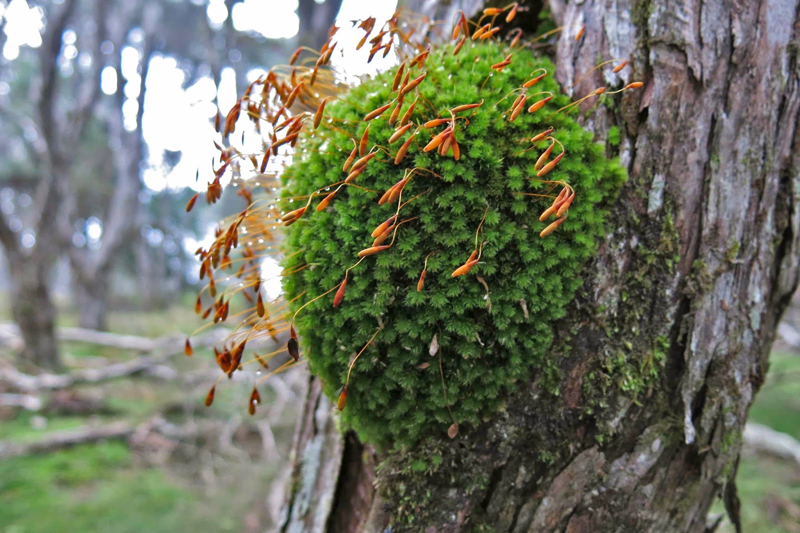
Somewhere around the 950 ms asl mark, the forest began to clear, and the vegetation became quite open. Some huge examples of ancient myrtles occurred in this more open section (nothofagus cunninghamii). This ceded to the next vegetation phase, a mass of wild native pepperberry bushes (Tasmannia lanceolata). I was entranced by the clumps of moss and thick coating lichen on each bush, endowing them with a sense of ancient mystery.
I gathered a few berries, but was more interested in seeing the summit, even though thick mist was going to prevent any view. David, who can’t eat berries, said that he wanted to get moving too, so the two of us set out along the logical route from there to the summit, chatting away whilst I kept us on the highest path between where we were and the top. We walked past a log book which is almost at the top of the very first rising, and I have heard it implied that that is the summit, but it is neither the summit on the map, nor the ground. It is nothing other than a visitors’ book and possible lookout point (I’d need to check that theory out in better weather). The summit (black spot on map) is at least 1.5 kms away. The highest point is actually on the knoll before that, but I wanted to touch the mapped and named summit.
Panellus longinquus Thanks Dr David Ratkowsky for helping with that one
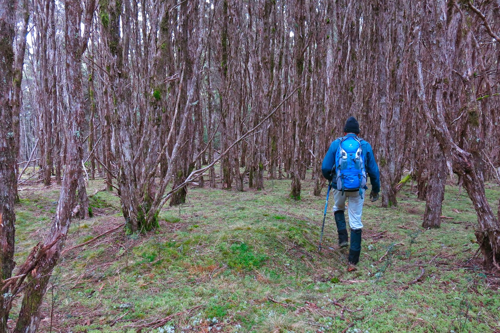
Once the top, broad ridge line was reached (very shortly after the pepperberries and log book), we had over a kilometre of magnificent walking through almost park-like (non-taped, non-tracked) forest, which later became primarily comprised of thin-trunked melaleucas, pursuing the light. As I gazed at their tall, straight yet spindly trunks, I thought of Nietzsche’s question in his book,Will to Power (Der Wille zur Macht) where he asks: Why do trees fight to reach for the light? Is it for survival? No, he claims, it is because of a will to power (a will to dominate that goes beyond mere survival). These words have always fascinated me, partly, but not exclusively, because Nietzsche denies the idea of a soul, and yet implicitly attributes will to a tree.
We went over the rising that was not the official summit, but which my gps said was higher than the summit, down into a broad saddle, and up the other side, sadly leaving the forest for the final 100 ms or so to enter the first waist-high scrub for the day. It was very easily traversed, and there we were at the summit trig.
David, striding out in the parklike forest, discussing with me Einstein’s assumption that c was always constant. I like stimulating discussions on bushwalks.
There we ate half our lunch, waiting to see if the others were going to remain trapped by the spell of the berries, or whether they were going to join us on top. When they failed to appear, we set out back, but encountered them when beginning on the climb to the non-summit knoll in the forest. They were smug with their full containers of booty. We finished lunch together in the forested section as it was far more pleasant than the open, windy summit point, returned to the trig so they could touch it too, and then turned our venture into a circle by heading straight down the hill to intersect with the road far below and going along it to the car. This involved 17 minutes of road, with log trucks sometimes appearing. When I take my husband back there to show him, we’ll go out and back the same way, as that was the way of most beauty.
Entoloma sp
I arrived at work some minutes late to find my students deep in discussion about the budget that the government released the day before. They looked up and saw me in my boots and gaiters and outlandish walking gear (I had had no time to change) and smiled. I think they quite enjoy having a bizarre coach. They weren’t even fazed when I did a quick leech check on my calves while we went on with the next topic of discussion.
Below is a description of how to drive to Mt Scott.
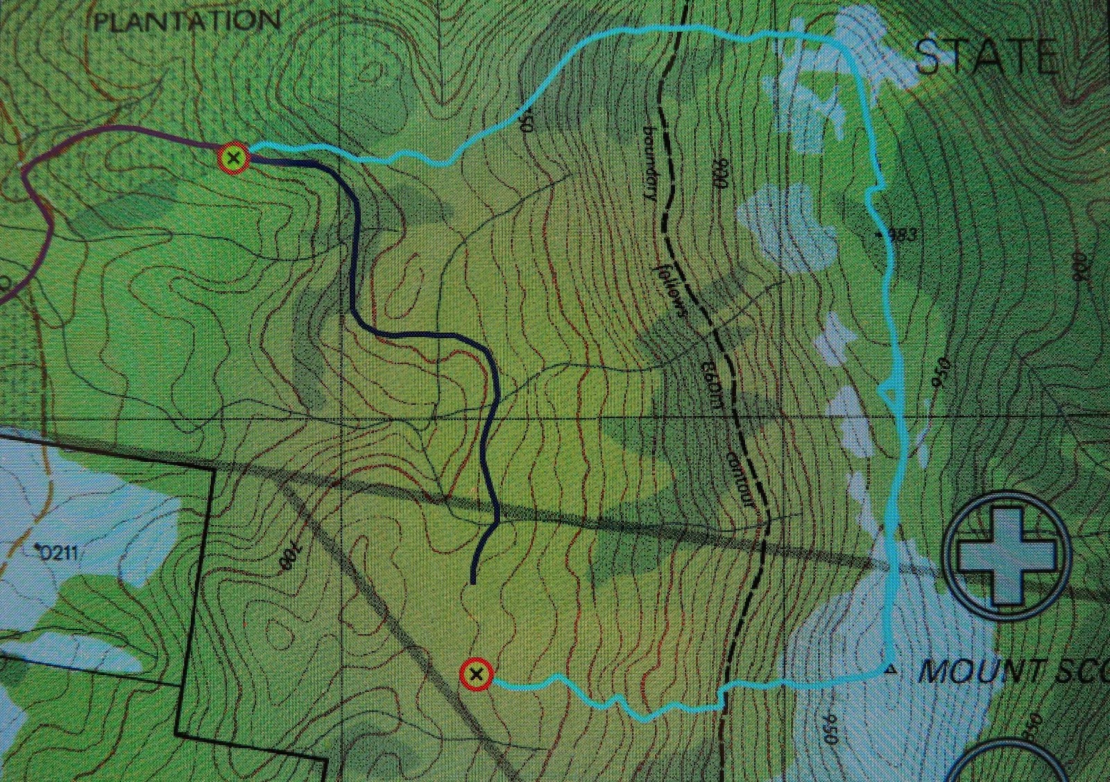
I am greatly indebted to my friends, not only for showing me a beautiful mountain, for for negotiating the oddities of Tasmaps that fail to show roads. I have scoured our whole map of Tasmania, as well as 1:100,000 maps – both the one on which Mt Scott lies (useless, as it is right on the edge) and the map next door (St Patricks). Not one of those maps makes the road journey to this mountain clear. According to my gps, we had parked in the middle of bushland rather than on a road. If you look at the map above, the waypoint to the NW is where we parked the car. Because the road was not on the map, I also tracked our route as we drove out in purple so I could try to figure it all out later. But first, I will also tell you that the waypoint that is lower and mid-image is where we hit a road (unmapped as well – of course?). The dark blue line heading north and then weaving is the unmapped road on which we walked to return to the car.
After a great deal of screen staring and other map poring, this is what I believe to be the directions of how to get there. From Launceston, drive to Targa, and take the Camden Hill Rd. Turn left on the Diddleum Rd and join East Diddleum Rd, as described in the Abels I volume for Mt Maurice.
This road crosses St Patricks River. Now you need to pay attention. You’re getting near. After the river, keep heading north, and turn right at the third opportunity, now heading eastish. After about 1.5 kms, swing right. If you look at the image above, you will see the change in the purple line from north to right (east). If you look very hard, you will see an orange darker line continuing north. That is East Diddleum Rd which you no longer want. After about 200 ms you can also see if you look above there is another road heading north which you also don’t want. You’re now very near. About 200 ms past this point you will (if you’re lucky) notice a small wooden sign that points to Mt Scott that has pink ribbon tied to it. If you miss it (we did) you’ll reach the remnants of a boom gate. Turn around and retrace steps for about 150 or so metres. The sign heads off on the northern side of the road. There are, of course, lots of other logging tracks – newly made pseudo-roads – to confuse. That’s my best shot at guiding you in. Good luck. It’s worth it.




Hi Louise, I'd say the reason the road wasn't on your maps is because it was a logging road constructed after the map was published. But it's very visible from aerial maps, which also show how extensive the logging is. See
https://maps.google.com.au/maps?q=hl=en&ll=-41.299702,147.51214&z=15.
Awesome post Thanks for sharing.