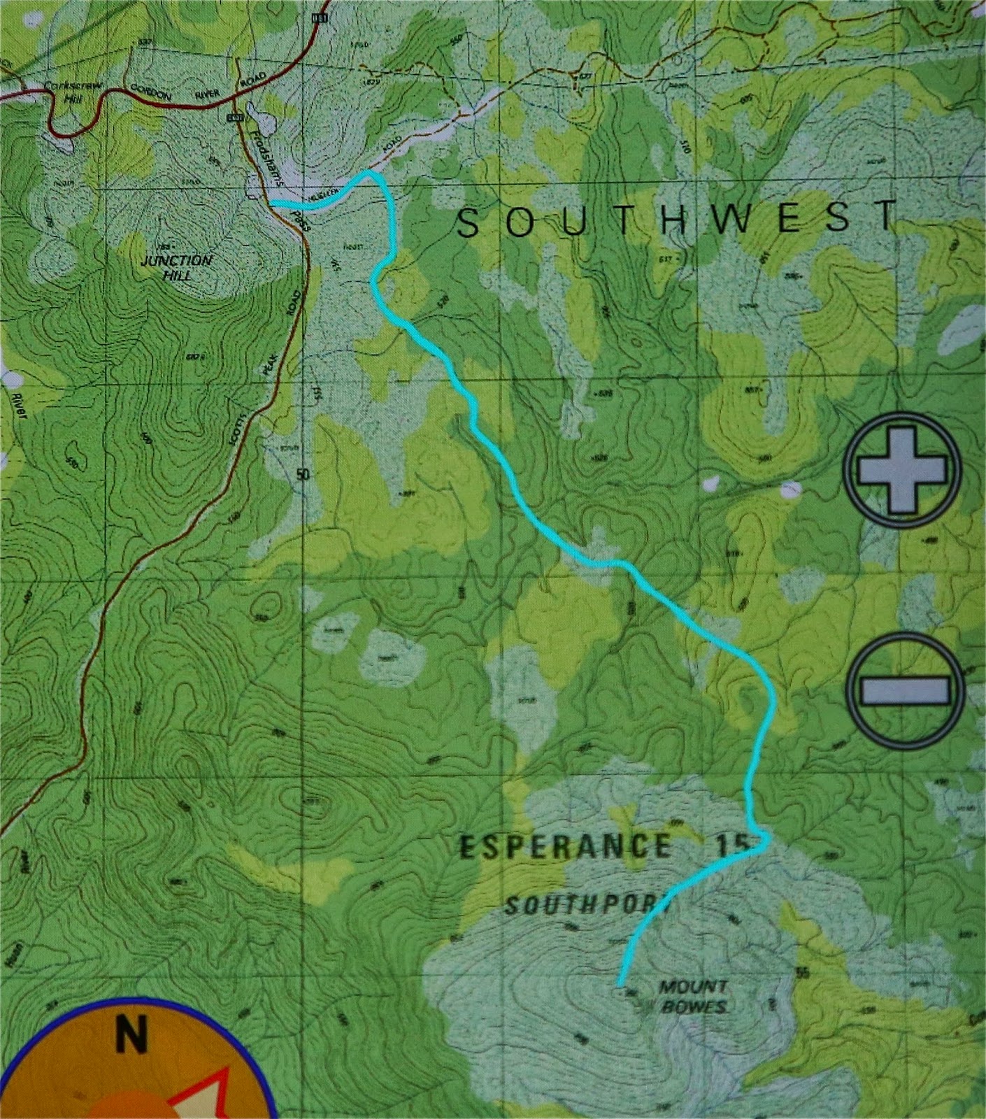
Mt Bowes is in the south-west, so it must, by definition, be a good mountain. As soon as I saw it on the programme I signed up.
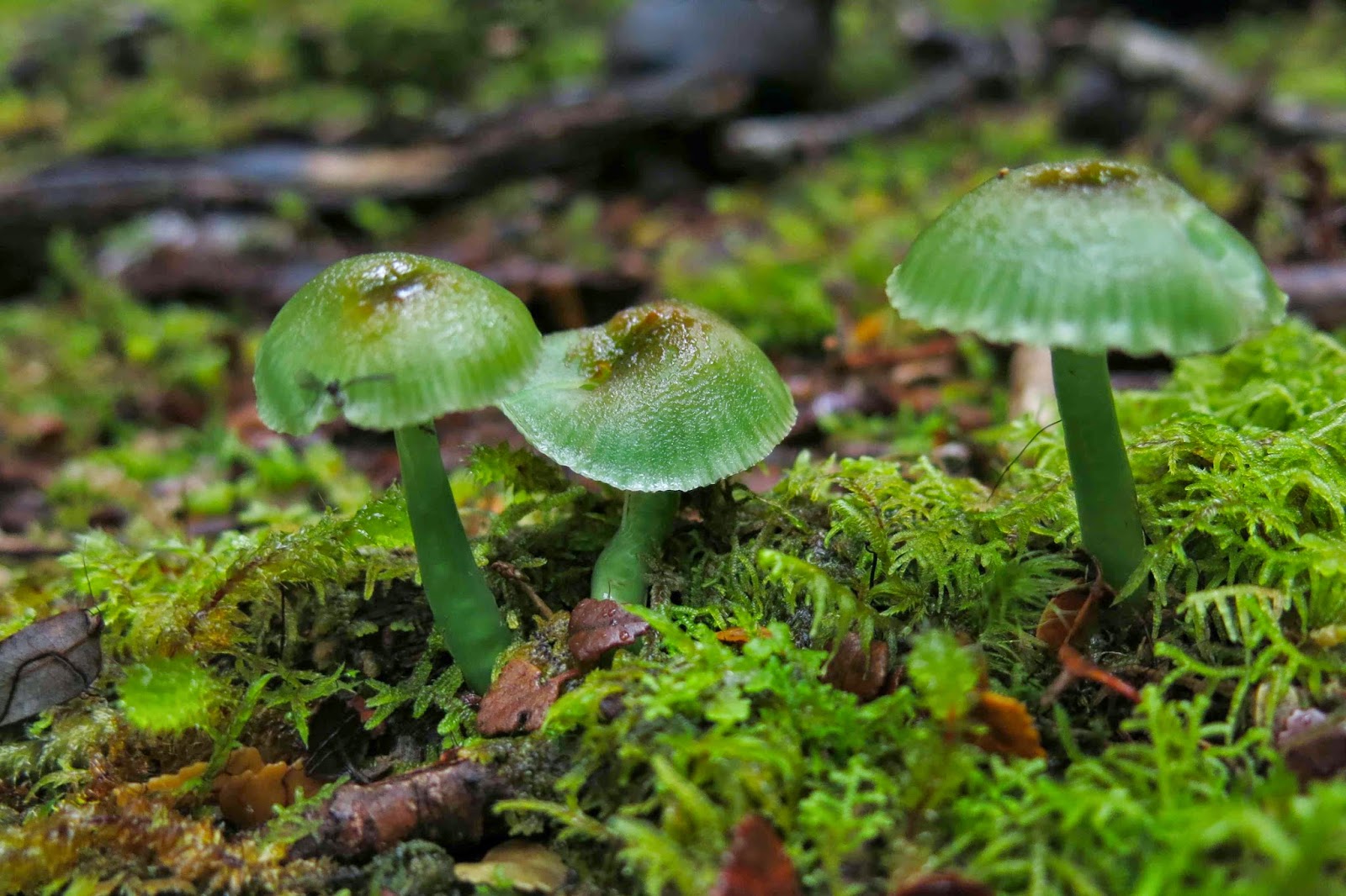
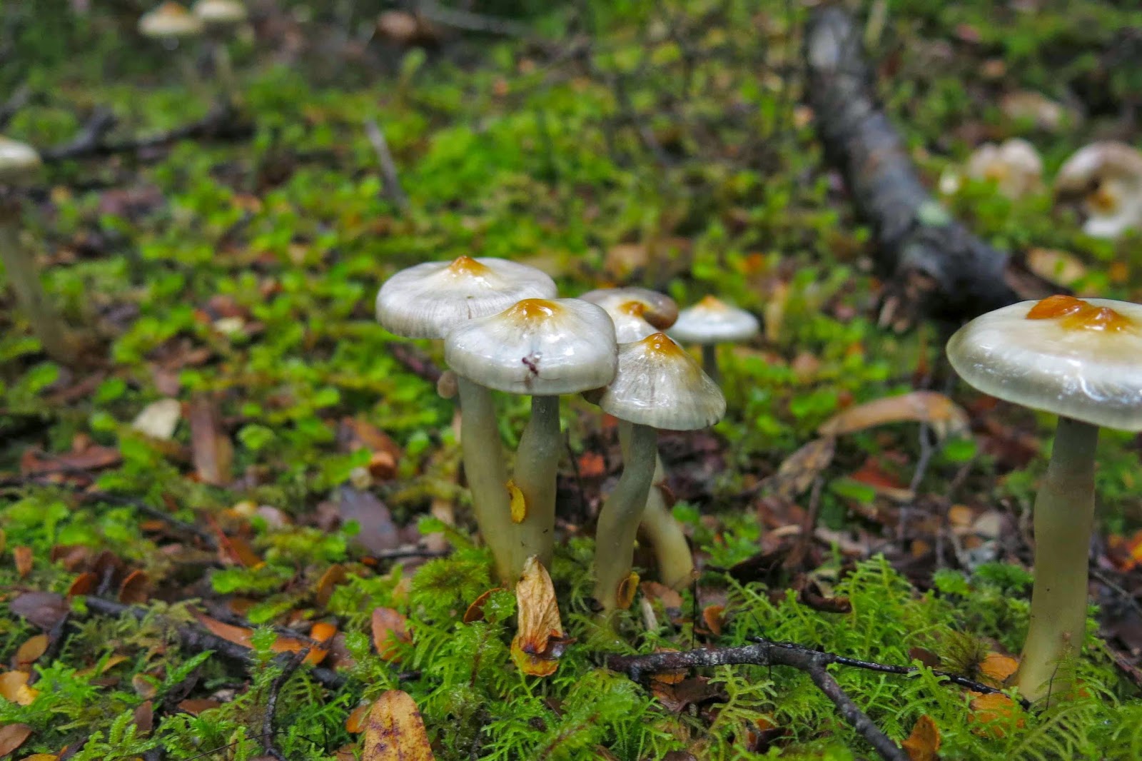 Possibly Cortinarius levendulensis
The forecast was for a pretty dismal day – and yet fourteen of us turned up to brave it; I packed more layers and coats than for a summer’s multi-day expedition, and heaps of food in case the 4.30 a.m. start that I’d need to meet the others in Hobart at 7 would leave me more peckish than usual during the day. (It did. I was craving lunch by 10 a.m.)
My mental image of what lay in store was, I guess, informed by trips to the nearby Western Arthurs: I imagined a lengthy phase of muddy button-grass plain ceding to alpine vegetation once we’d gained height. Wrong.
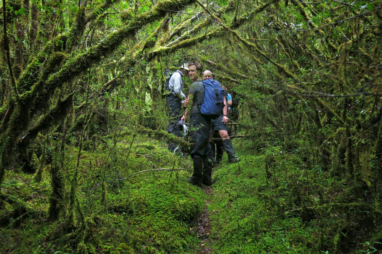
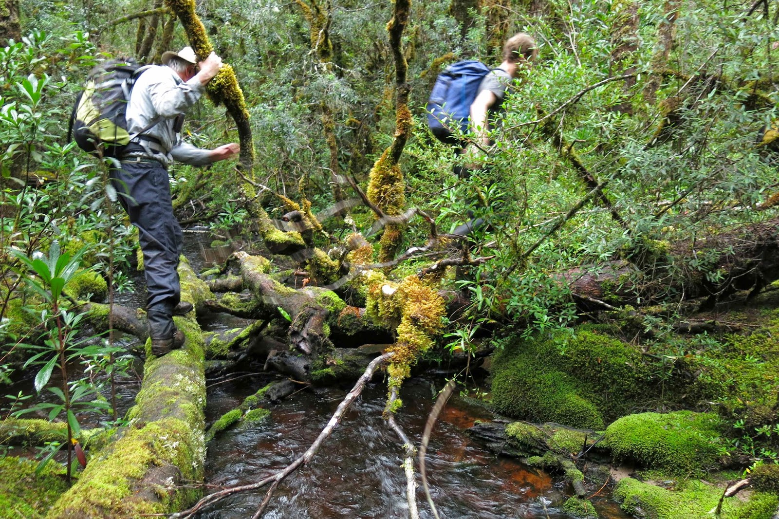
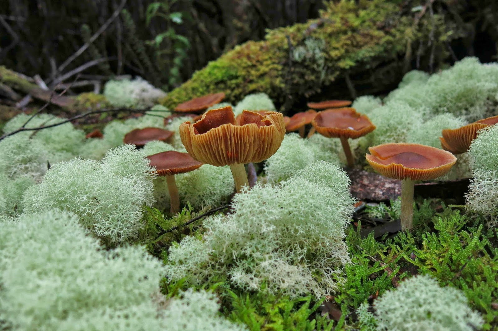
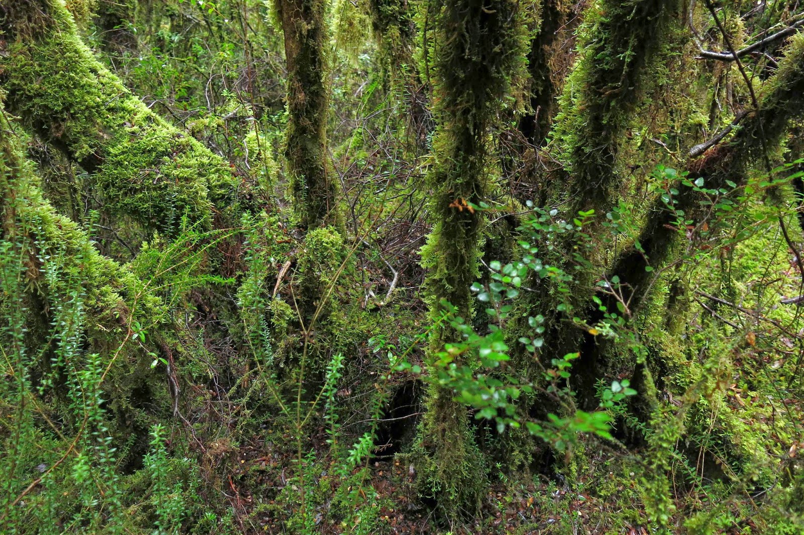 Having parked at the locked boom gate (en route to Mt Mueller) and swallowed the 500 ms or so of road to the cairn that marks the start of the pad, we entered the domain of melaleuca and leptospermum scrub, complete with requisite muddy pools of unknown depth to dirty our boots and gaiters. This section, however, was short – perhaps a kilometre long – after which we entered quintessential Tolkien country, with sentinel Ents in every direction, fabulous guardians of the sylvan domains. The forest was very different to that of my normal bushwalking diet, which features huge myrtles and fatter trees; here the trees had quite narrow trunks. The bark underneath was invisible, as all wood seemed covered in a rich coating of vibrant green moss, with hairy lichen-beards hanging from horizontal surfaces. Colourful and abundant fungi were, of course, a distraction – so much so that we hardly saw our leader at all on the outward journey: he was too busy bowing obeisance to the fungi, his camera held in a suspicious position. Tannin-stained creeks, pure and gently flowing, were crossed by natural bridges made from fallen trunks.
 I learned that this pad was originally the path cut by Edward Alexander Marsden in 1898, and is part of the original and much larger track going from Port Davey all the way to Fitzgerald – a very long distance – intended as an escape route for shipwrecked sailors. Snooping around the web, I have since picked up that the Port Davey track was used in 1914 to check out a rumour that a German submarine was lurking in Bathurst Harbour, intent on destroying troop ships as they rounded the coast. At that date, the track hadn’t been used since a 1905 shipwreck.
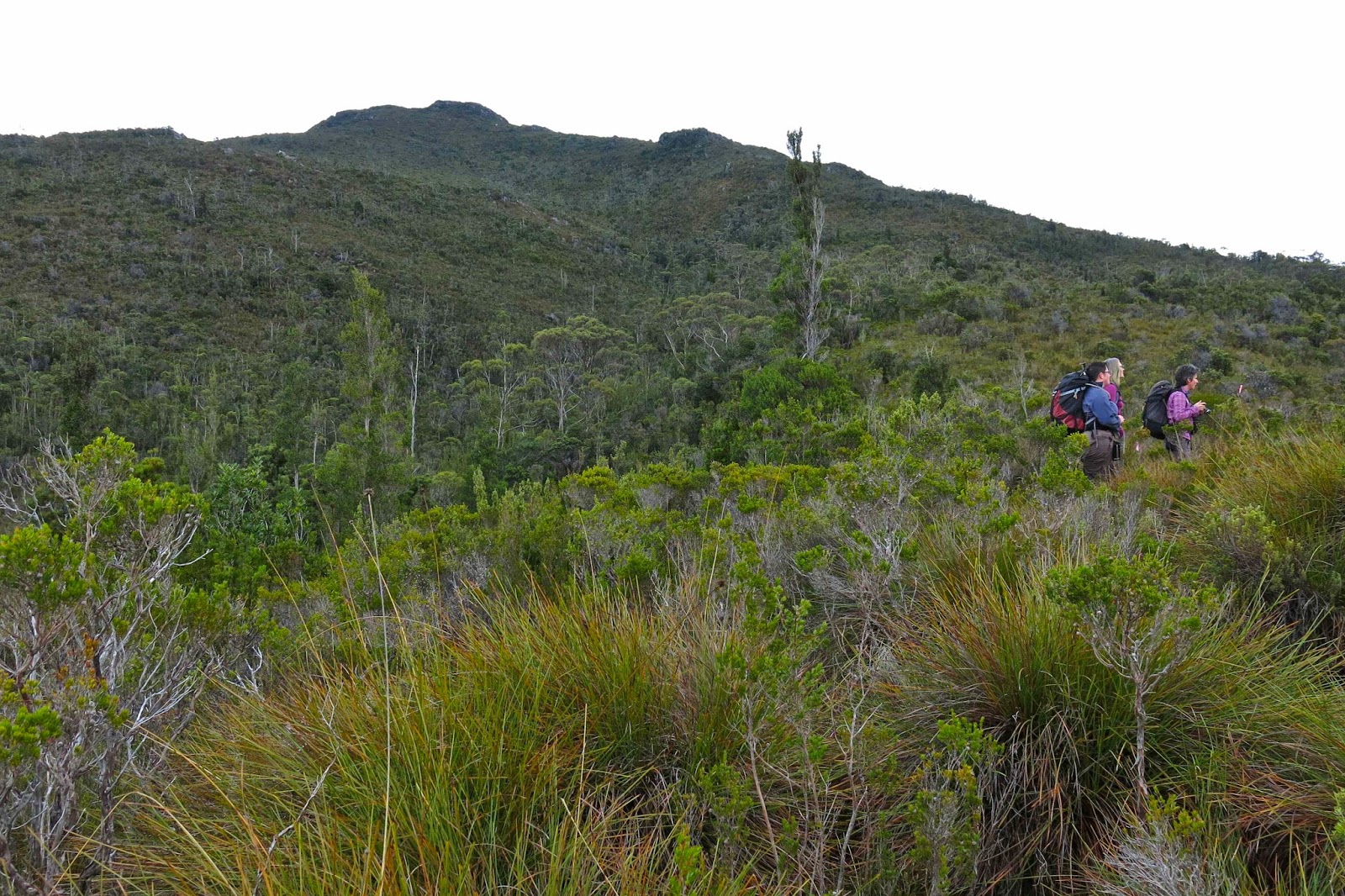
 After many wonderful kilometres of this rainforested beauty, we were in a position to diverge from this path and begin the climb proper (still adorned with pink tape [mostly], but it was quite hard to find evidence of human wear on the ground). The quite steep rise was made more taxing by the presence of waist-high bauera and other bushes to keep us honest in our efforts. It took longer than I expected to reach the summit. Once up, we found a small depression out of the wind, which was necessary, as most of us had become wet from the morning of pushing through wet bushes plus the sweat generated by a healthy workout on the way up. Like a magician pulling rabbits from a hat, I seemed to amuse some by the number of coats and layers that I extracted from my pack to cope with the fact that we now had to stop moving. Like little Michelin men, we sat on top eating and looking at our hard-won view of half-disclosed mountains and a grey, moody Lake Pedder way below. The vista was tantalisingly full of promises that would not be kept on this day.
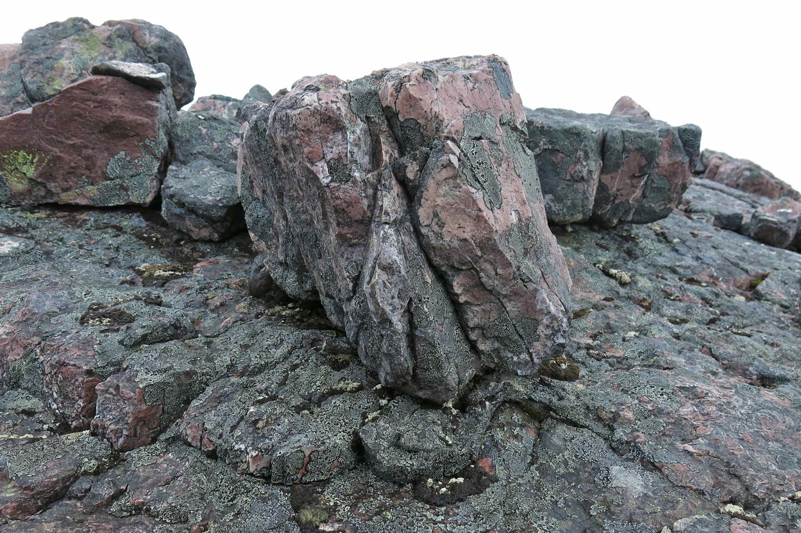
 There she is at last: our mountain.
I must return when there’s a better forecast, as, even on a dull day with light sprinkle and smudged, detail-less mountains, it was magic. Just imagine what it could be if the sun shone and the mountains were well defined. I will be back!
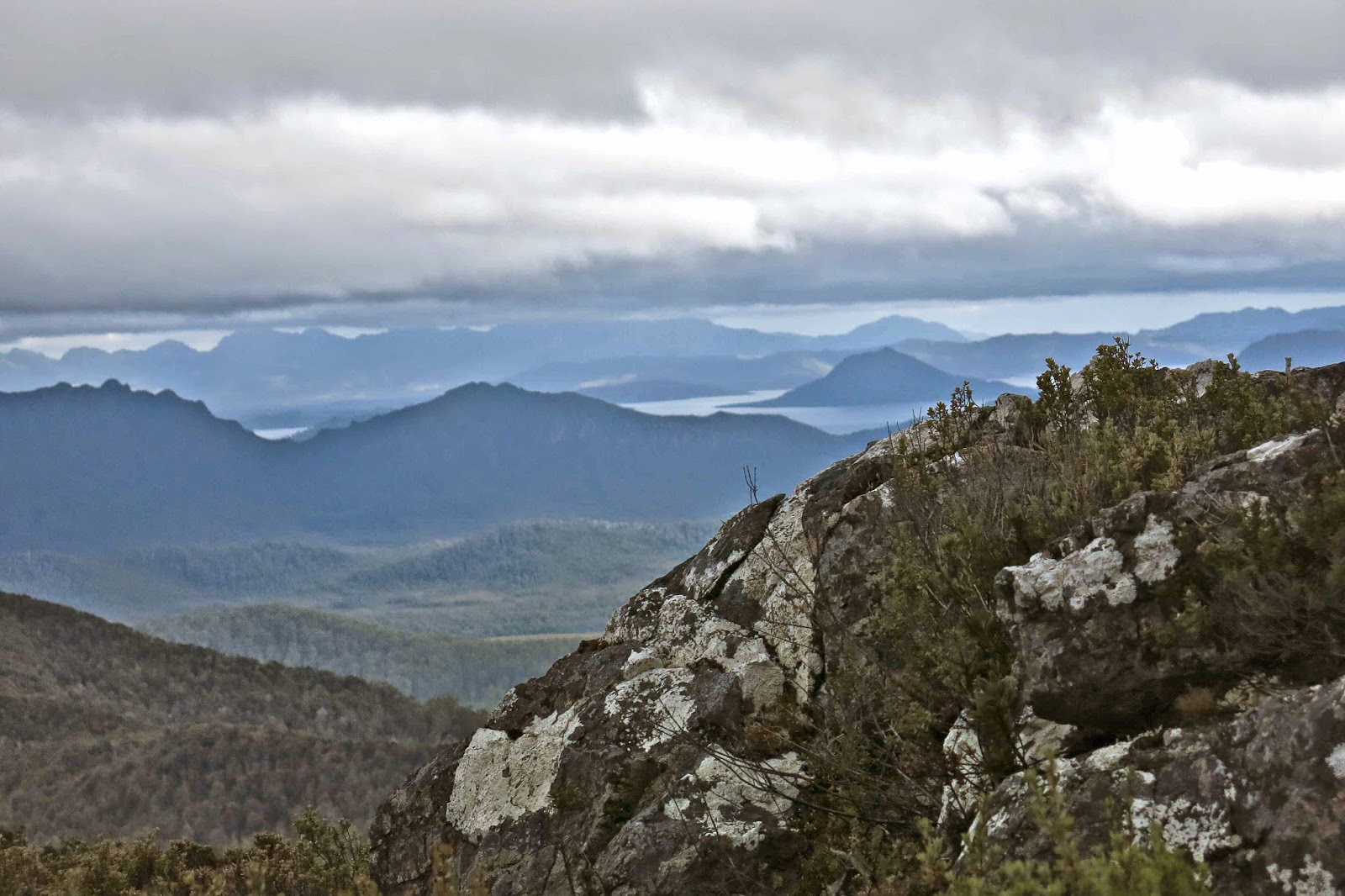 Summit view