
Hullabaloo Falls and Upper Hullabaloo Falls, Apr 2018
If you have turned to this blog having come from my post on Narrawa Falls, you will know that the only reason I was at the start line for Hullabaloo Falls was that the name caught my eye when I was map gazing, and, noting that I was nearby, I answered the call. It seemed to me that the closest point to where the falls were was where my map indicates I parked, and, not having any information to hand, that seemed as good a place as any to start.
I have since found out that this is on private property, and, with waterfall bagging being so popular, the owner is worried about his liability. I’m afraid the shots posted can merely satisfy your curiosity. Sorry folks.
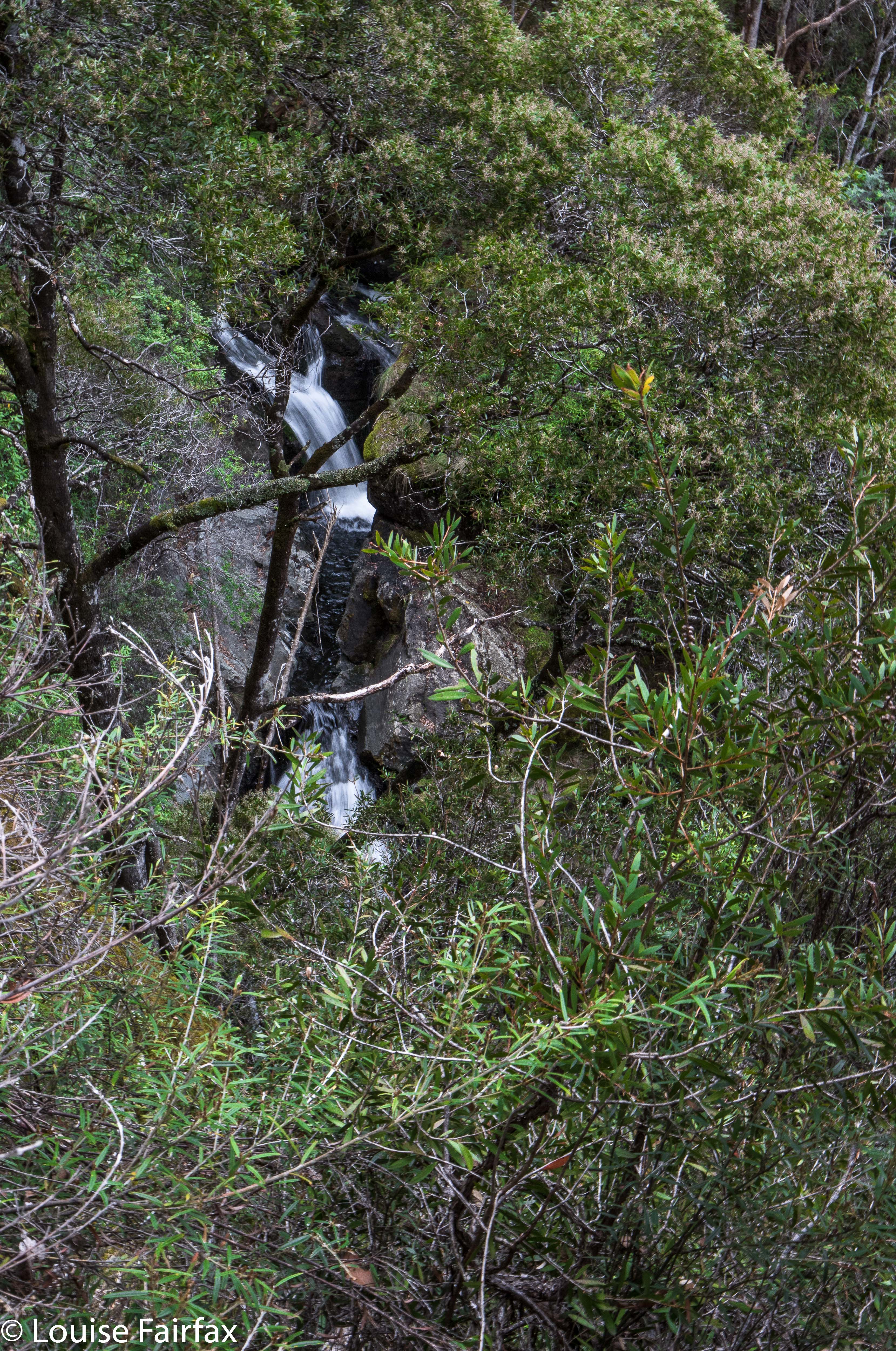 Hiding shyly out of obscurity: Hullabaloo Falls
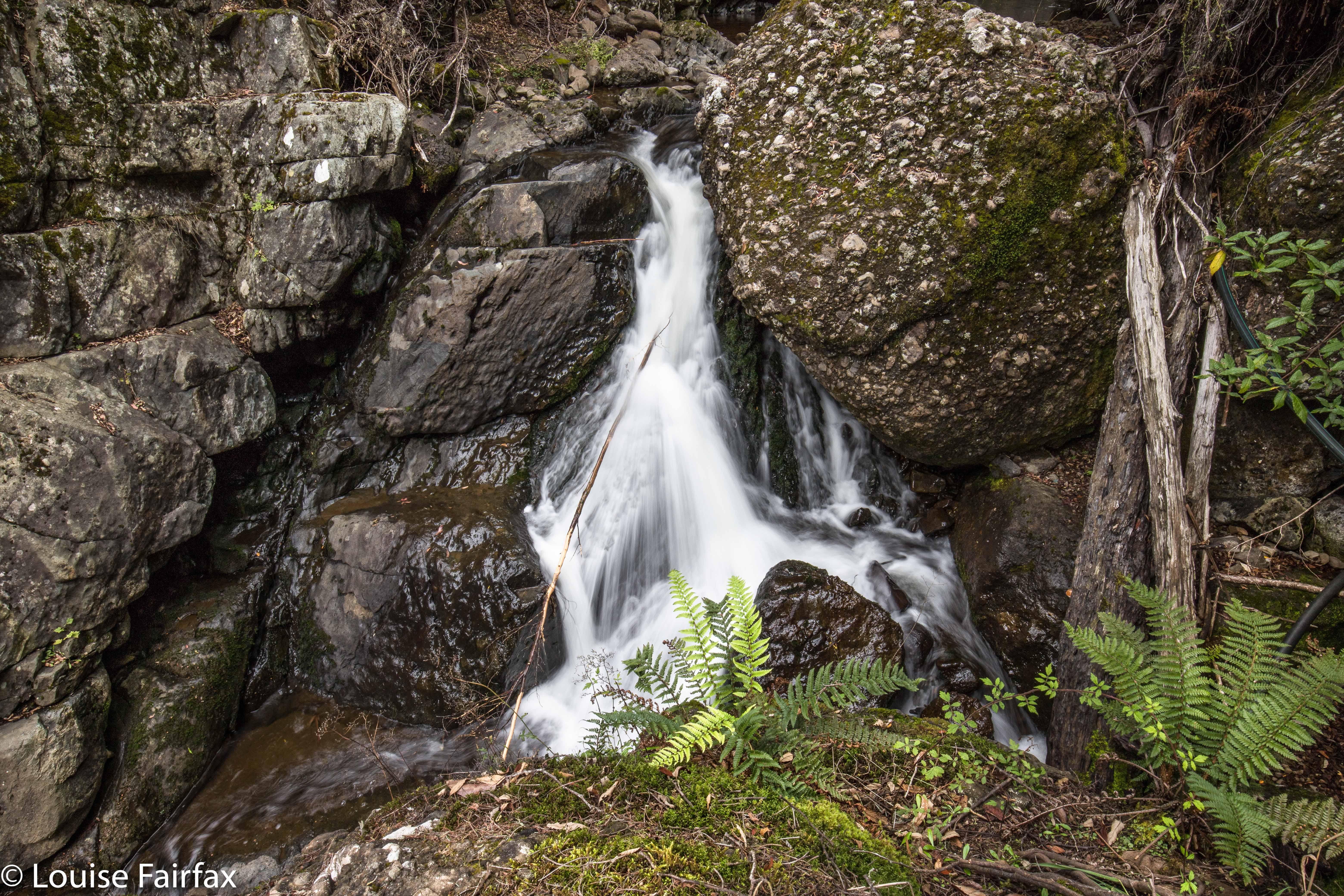 Here are the “Upper Hullabaloo Falls” (unnamed on the map, but marked by a blue line as existing). They are actually nicer.
I decided to head for home via one last falls, viz., Hogg Creek Falls, which also had a location but no information as to how to best approach them. Oh well, if you don’t try you can’t succeed. Off I set. Hogg Creek is in between the Lake Paloona Dam and Lower Barrington, which seemed quite a long drive from Lemonthyme, but a very pretty one. Tasmania is looking ravishing in its autumn clothing.
Hi Louise.. Steve Garth. East Devonport. Just read with interest your Hullabaloo recce. I was up there tue 17th and had a crack at Champagne, Bridal and No Name, which were all running very well. I keep driving in and out past Hullabaloo, and I’ve got to do it sometime. Thanks for your map. very helpful. One question, if you have time to answer it.. Did you do your main Hullabaloo falls loop clockwise or anti? Which was the easier leg.. in or out? I’m 63, so I try hard not to re-invent the wheel etc. Cheers.
Hi Steve. I agree, no point in reinventing the wheel at all – any age (and my blog is there with the intention of helping and inspiring). I did my route anti-clockwise, and was very satisfied with the way that it (accidentally) turned out. It meant I began on a track, and just went due north at the appropriate time. That bit was the hardest. I would not recommend going down to creek level. That was very dangerous, and you didn’t get a view down there. Far better to enjoy the buttress above. Going out is then very easy. If you are not good at keeping a line with your compass, it doesn’t matter, as you’ll end up on the road, and can get to you car from there anyway. Hope that helps. Cheers, Louise