Mt Kate Mar 2015
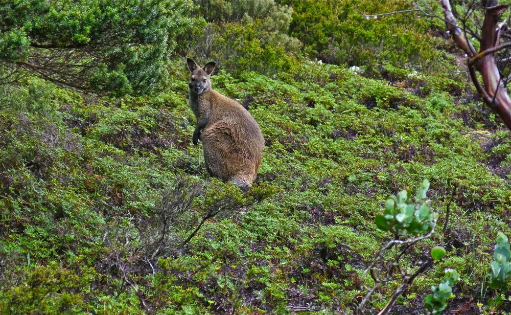
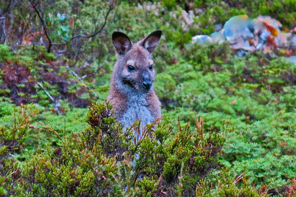
The current Abels Vol 1 book claims that Mt Kate is “uninspiring”, but I’m afraid I find that an insult. For sure, Mt Kate is no Matterhorn or Cradle Mountain with distinctive shape; she is no Lightning Ridge or Striding Edge with high drama; no north face of the Eiger offering to kill you if you slip, but if you don’t need your life filled with histrionics, then Mt Kate’s quiet beauty has enormous appeal at a different, subtler level. Possibly it helped that we climbed her in the mist and drizzle, but my daughter and I delighted in the variety of greens, the contrasting red seedpods of the Bellendena montana (mountain rocket), the shy Bennets wallabies having a peep at us from the security of a Bauera bush behind which they could retreat if needed, and the plethora of pencil pines in the area, the highlight of which was a grove in the saddle before the final collection of contours leading to the summit.
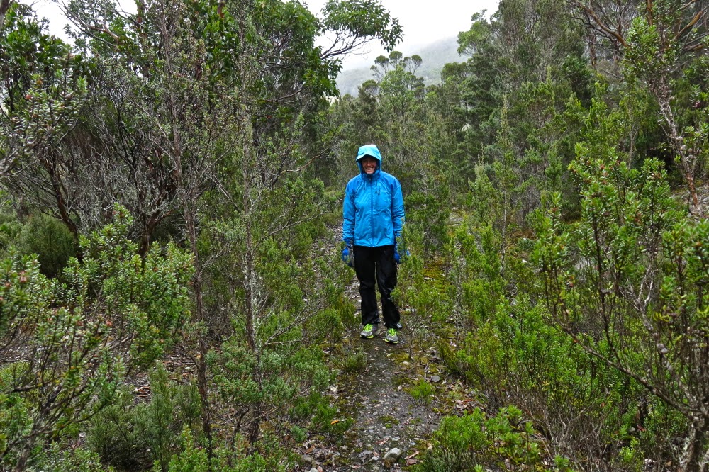
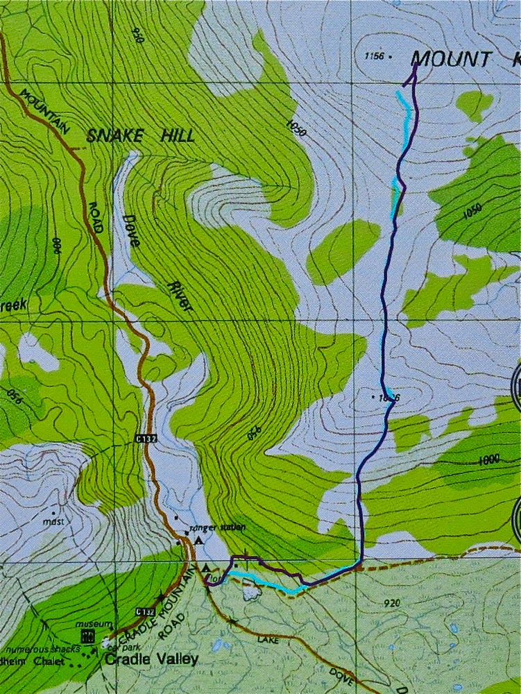
We were rather thrilled to be climbing Kate in misty moisty gloom. The lack of visibility added to our sense of adventure. It’s fun climbing mountains with either of my daughters. Today Auntie Lena was minding Gussy; Kirsten came with me. We found the directions at the start to be a little ambiguous, and it didn’t help that I was, as usual, in a hurry to be climbing. It seemed counter-intuitive to head east when the summit was north, and to be on contour when we were there for the express purpose of climbing, an activity that we both delight in. I thus made two false moves, each time following wombat pads that headed to where we wanted to go, but which petered out after 50 or so metres. It also does not help that there is a sign that says “Mt Kate” pointing to the incorrect path, whilst the path you need says “Track closed”. Disobey all these instructions provided by the signage and you’ll get there.
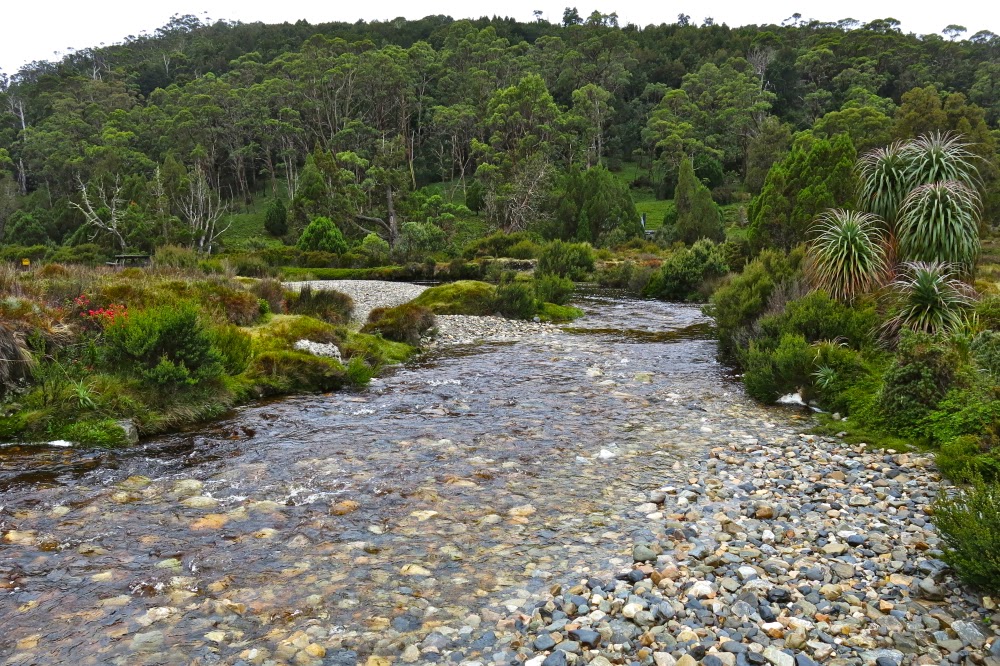
So, cross the river using the car bridge. Cross it again using a footbridge and then, having taken the path that says it’s closed, you’ll cross water again – this time a small tributary. Continue on the boards until stairs appear, leading up to the second of the wooden cabins above. Turn right (east), heading more or less for a small mound. If you’re on a pad and keep your eyes open, you’ll pick up tapes soon after the mound, and then you’re on your way.

After walking for maybe ten minutes, you’ll find a 30 cm high cairn and, although the old road you’re on continues east, you depart on the ribboned route heading now north and climbing up through lovely myrtle forest until you see a huge cairn on a rocky outcrop above, which announces that you’ve now finished part one of the climb.
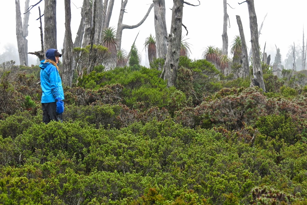
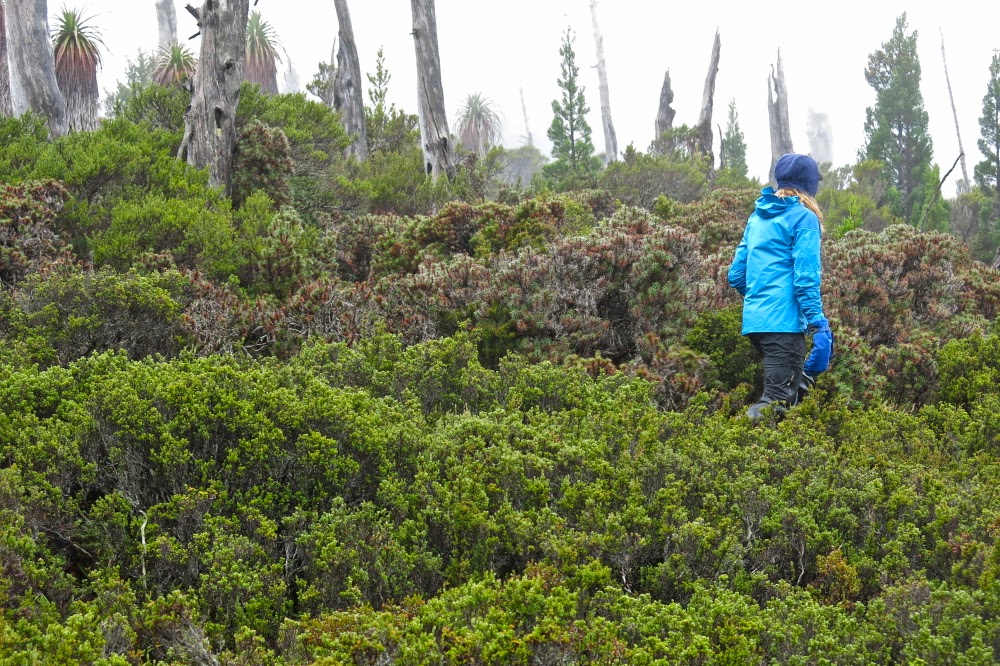
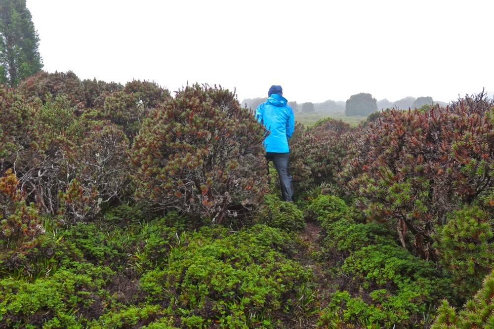
Once in the saddle, the alpine vegetation becomes ankle high and is delightful to walk on. Wombat scats in abundance suggest this would be a great place to bring children in an evening for wombat spotting. Enjoy it while it lasts, for soon enough the bush returns to thigh high. However, a treat lies ahead, in the form of a magic fairyland grove of pencil pines, one of which had the widest girth I have ever seen: grandpa pencil pine, standing tall and proud, surrounded by lesser minions. Sadly, off to the right skeletal forms reaching for the sky suggest larger, former dimensions to the grove.

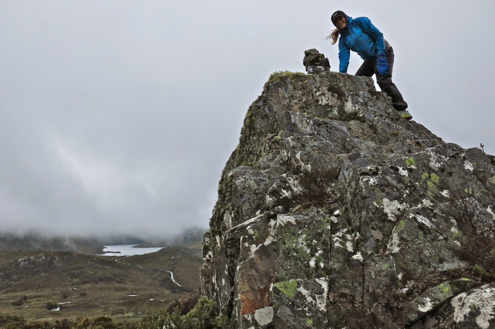
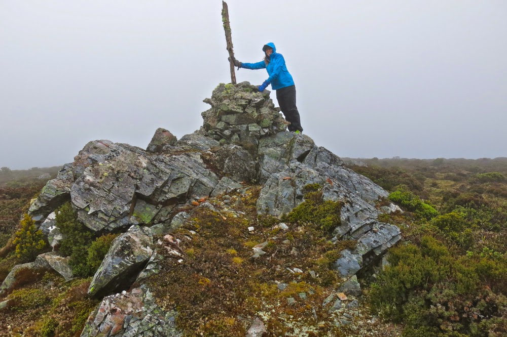
The end of the pines marks the start of the final collection of contours that lead to the summit. The dark shape of Kate was there for us, just visible through the mist, but the summit cairn took us a bit by surprise, coming earlier than we expected, but then, time flies when you’re having fun, and we were both enjoying our little adventure in our own private world, made so by the thick mist.
I had worn old waterproofs that I’d ripped to shreds the week before on the Mt Anne Circuit. We both arrived back at our cabin pretty sodden, but very pleased to have made the acquaintance of a new mountain. I’ll be back sometime within the next year to check her out on a day with visibility, but I have the feeling that seeing views will add little to my first impressions of a happy outing on Mt Kate.