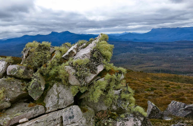
Mt Jubilee Dec 2013
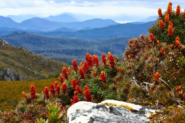
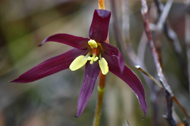
Isophysis tasmanica
Having driven down from Launceston in a slow bus with several long stops, and having slightly misinterpreted instructions on how to get to the start of the walk (roads not being on the map), we were not ready to set out on our little trek until a fairly disastrous 11.25 – almost time for lunch, especially for this hungry person who had had breakfast at 5 a.m. This did not augur well for making our destination, and all my misgivings were realised as I saw how far we hadn’t got when we did have our midday meal.
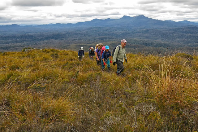
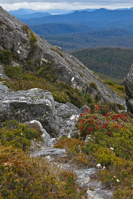
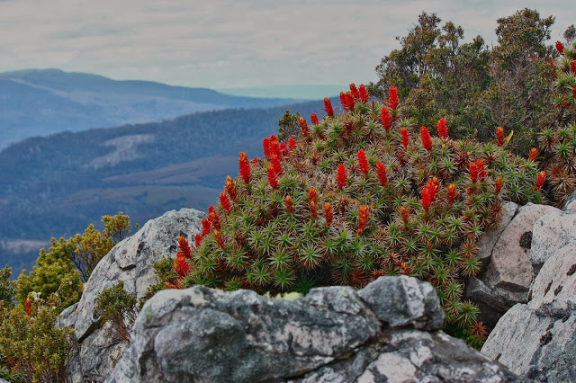 In fact, I feared that we weren’t even going to make Mt Jubilee, let alone the further high point of the Jubilee Range, the stated goal. Was a mass of dense melaleuca and bauera scrub to be our final destination? Would we get up to a view? Happily, the answer to the first question is “no”, and the second is “yes”. We did summit Mt Jubilee at least, and thereby gained a glorious vista. The club did not, however, do the times said in the book, and needed 2 hrs 30 mins plus breaks to get up (four hours in total), a bit less (and fewer breaks) to get down. Everybody adored the expansive views and the spacious feeling on the summit, to say nothing of the splendid scoparia in flower in numerous pockets up the top. I loved the rocky outcrops with their hippy lichen hair dangling as well. We stayed on top a lovely long time, absorbing this wonderful view, and having the names of the surrounding peaks pointed out for us by people who are far better than I am at recognising old friends from different angles. This mountain is not high enough to be an Abel; not even of enough interest to the point-allocation powers that be to be worth a single point, but it is a wonderful mountain, and one I would love to sleep on for the splendour of its views and for what my imagination can picture it must be like at sundown. Next time I want to be there with my proper pack and tent.
first take Jubilee Rd off Styx Rd (a right hand turn). Driving along this road, there is a left turn on offer, but with a clearly visible fallen tree only about 50 metres in. Obviously, don’t take that road. Then (and especially if your instructions say “Take a left turn”) you might be tempted to take the next left, which does go somewhere. We have thoroughly explored this one for you. It does not go where you want. The third offering to the left is a Y-shaped fork, where you may now take the left hand option, and, where it seems logical in terms of your final destination, look carefully for the “cairn” (a tiny gathering of dark grey rocks, very subtle, about 15-20 cms high at this time of writing) and a couple of rather faded ribbons. It is well worth the trouble of locating this starting point, as the pad (not track – you still have to use carefully-honed observation skills to stay on it) saves a lot of time that would otherwise be wasted finding the best route through the rather tightly-knit scrub. Do not undertake the route if you are not confident of navigating, as you can’t rely on seeing the pad, and I can guarantee there will be times you need to consult map and compass in order to get yourself to your destination.

